
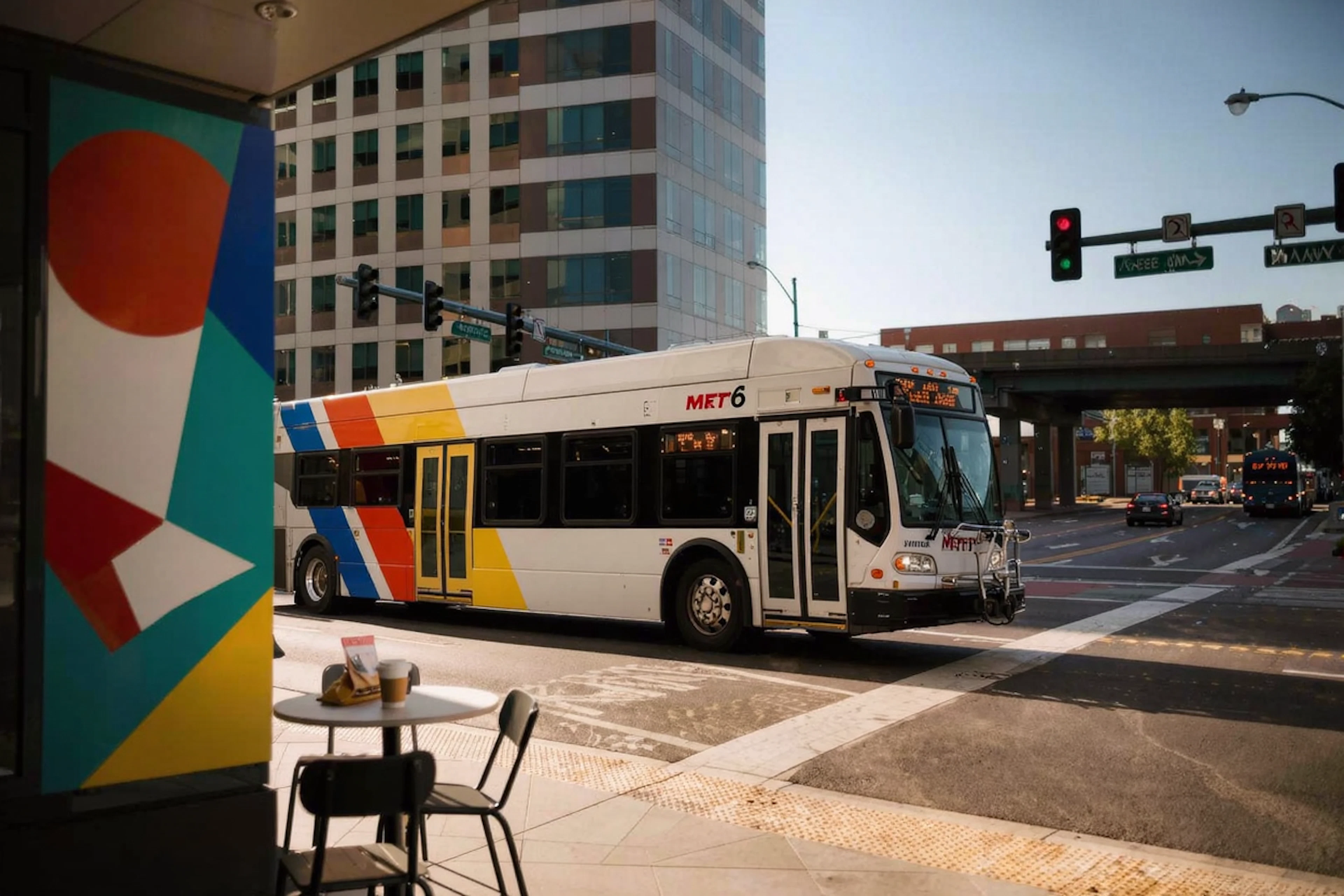
Navigating Greenspoint with METRO 6 Transit
Getting around Greenspoint: METRO 6's Jensen/Greens route map helps you plan your trip
Living in the Greenspoint area offers residents a variety of conveniences, including access to reliable public transportation. The METRO 6 bus route, also known as the Jensen/Greens route, is a key resource for those commuting around Houston. This route provides comprehensive coverage throughout the city, making it an invaluable tool for residents seeking car-free mobility. Whether you're heading to work, school, or leisure activities, understanding and utilizing this transit option can significantly simplify your daily travels.
Discover the METRO 6 Route
The METRO 6 route map offers an extensive overview of all the stops served along the Jensen/Greens corridor. This route is designed to connect residents with various destinations across Houston, providing a dependable mode of transportation. The Transit app complements this service by displaying real-time vehicle locations, allowing users to plan their trips with precision. Additionally, the app provides alerts about any disruptions affecting the schedule, ensuring you stay informed and prepared for your journey. Such features make the METRO 6 an excellent choice for navigating the city efficiently.
Benefits of Public Transit Near Walnut Creek
Walnut Creek, located in the Greenspoint area, is conveniently situated near multiple bus stops, such as North Freeway @ Gillespie Rd and Airline Dr @ Aldine Bender Rd. These stops provide easy access to the METRO 6 route, connecting you to various parts of Houston. The proximity to public transit is particularly beneficial for residents who prefer not to rely on personal vehicles, offering a cost-effective and environmentally-friendly transportation alternative. This accessibility highlights the community’s commitment to supporting diverse commuting needs, making it an appealing place for both current and prospective residents.
How to Make the Most of Your Commute
Making the most of the METRO 6 route begins with familiarizing yourself with its stops and schedule. Downloading the Transit app is highly recommended, as it offers real-time updates and alerts, ensuring a smooth travel experience. Plan your trips by reviewing the route map to identify the most convenient stops near your destination. Whether commuting to Lone Star College, shopping at Greens Crossroads, or exploring the broader Houston area, the METRO 6 provides a reliable and efficient means of transportation. Embrace this resource to enhance your mobility and enjoy the benefits of connected living in Greenspoint.
Living at Walnut Creek means enjoying a blend of convenience and connectivity. The nearby METRO 6 bus route is a prime example of the practical amenities available to residents in this vibrant community. Whether you're a current resident seeking efficient commuting options or a prospective tenant exploring the area, the METRO 6 route simplifies travel and enhances your lifestyle. For more information, feel free to visit Walnut Creek during your next apartment tour and learn how this community supports your transportation needs.
Common Questions
- What public transit options are available near Walnut Creek in Greenspoint?
- Walnut Creek residents have convenient access to bus stops serving the METRO 6 route, such as North Freeway @ Gillespie Rd and Airline Dr @ Aldine Bender Rd.
- How can I check the METRO 6 bus schedule?
- Use the Transit app to view the METRO 6 schedule, real-time vehicle locations, and receive alerts for any route disruptions.
- Why is the METRO 6 route beneficial for Walnut Creek residents?
- The METRO 6 route connects Greenspoint residents to various Houston destinations, offering a car-free commuting option that’s convenient and efficient.